🛰️❄️ Satellite Images Reveal the Vast Scale of Italy’s 2026 Winter Olympics
What if you could watch the Winter Olympics from hundreds of miles above Earth?
Not from a drone. Not from a plane. But from a satellite orbiting our planet.
As athletes compete on snowy Alpine slopes and cities prepare for opening ceremonies, space satellites are capturing something incredible — a view that shows just how massive and spread out these Games really are. From towering mountains to sparkling lakes and historic cities, the entire Olympic region fits into one stunning frame.
So what does the world’s biggest winter sports event look like from space—and what can scientists learn from that view?
How Satellites Reveal the Giant Scale of the 2026 Milano Cortina Games
🔍 Key Highlights (Quick Look)
- Satellites captured amazing images of the 2026 Winter Olympics in northern Italy
- The Games are spread across mountains, lakes, and historic cities
- Events take place in the Alps, while ceremonies happen in Milan and Verona
- The images come from Europe’s Copernicus Sentinel-2 satellites
- From space, you can see Lake Garda, the Dolomites, and even Venice
What Do the Olympics Look Like From Space? 🛰️🌍
When we watch the Winter Olympics, we usually see:
- Skiers racing down snowy slopes
- Ice skaters spinning under bright lights
- Athletes celebrating with medals
But what if you could zoom out—way out—until you’re looking from space?
That’s exactly what scientists from the European Space Agency did.
Using data from the Copernicus Sentinel-2, they captured breathtaking images of northern Italy during the 2026 Winter Olympics.
Not Just One City—A Whole Region! 🗺️
Unlike many Olympics hosted in a single city, the Milano Cortina 2026 Games are spread across a huge area in northern Italy.
Events are happening in:
- Cortina d’Ampezzo
- Bormio
- Livigno
- Anterselva
- Predazzo
- Tesero
The opening ceremony takes place in Milan, and the closing ceremony happens in Verona.
From space, you can actually see how far apart these locations are!
[kid_notices]
The Alps: A Natural Olympic Stadium 🏔️
In the top part of the satellite image, you can see the snowy peaks of the Alps.
The mountain town of Cortina d’Ampezzo sits inside the dramatic Dolomites, a mountain range recognized as a UNESCO World Heritage Site.
Fun fact:
Cortina previously hosted the Winter Olympics in 1956!
The satellite view clearly shows:
- Deep valleys
- Sharp ridges
- Snow-covered slopes
It’s like nature built the perfect winter sports arena.
Milan: Where the Games Begin 🏟️
The opening ceremony takes place at San Siro Stadium in Milan.
From space, the stadium appears as a gray oval shape surrounded by the city.
Milan is Italy’s second-largest city after Rome and is known for:
- Fashion
- History
- Architecture
- Sports
Seeing it from space shows just how large and connected the metropolitan area is.
Lake Garda: A Giant Blue Gem 💙
In the center of the image, a bright blue shape stands out.
That’s Lake Garda, the largest lake in Italy.
It covers about 370 square kilometers and sits between the mountains and the cities.
From space, it looks like a shining jewel between the Alps and the plains.
Verona: A Historic Finale 🏛️
The closing ceremony takes place in Verona, famous for its ancient Roman amphitheater called the Arena.
The Arena will also host the opening of the Paralympic Winter Games, marking 50 years since the first Winter Paralympics.
Venice: A Floating City From Orbit 🌊
In the lower right of the satellite image, you can spot the crescent-shaped Venetian lagoon.
That’s where Venice sits—built on islands in the Adriatic Sea.
From space, the lagoon glows turquoise, and you can see the web of islands forming the famous floating city.
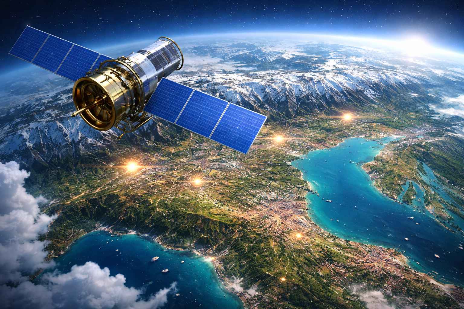
How Do Satellites Take These Images? 📡
The Sentinel-2 satellites orbit Earth and capture high-resolution images of land, water, forests, and cities.
They help scientists:
- Monitor weather and climate
- Track wildfires and floods
- Study urban growth
- Observe large events like the Olympics
They don’t just take pretty pictures—they collect important scientific data.
🌟 Big Takeaway
The 2026 Winter Olympics aren’t just exciting on TV—they’re spectacular from space.
From snowy Alpine peaks to historic cities and sparkling lakes, satellites show how the Games stretch across an entire region.
🛰️ Sometimes, you need a space view to truly see how big something is.
🧠 Quick Quiz: Space View Challenge!
1. Which satellites captured the Olympic images?
A) Hubble
B) Sentinel-2
C) Voyager
D) GPS satellites
2. Where is the opening ceremony held?
A) Rome
B) Verona
C) Milan
D) Venice
3. What mountain range hosts many events?
A) Rockies
B) Andes
C) Alps
D) Himalayas
4. What is Italy’s largest lake shown in the image?
A) Lake Como
B) Lake Garda
C) Lake Maggiore
D) Lake Superior
5. Why are satellite images important?
A) For taking selfies
B) For scientific monitoring and mapping
C) For weather decoration
D) For TV shows
✅ Answers:
1-B, 2-C, 3-C, 4-B, 5-B
🤔 Think About This…
If satellites can show us the Olympics from space, what other world events do you think they can help scientists study?

The Kids Science Magazine Editorial Team brings together nearly a decade of hands-on experience in electronics engineering, IoT systems, and embedded technology — combined with a deep passion for making complex science genuinely exciting for young minds. Our writers have worked across core electronics testing and real-world technology development, giving every science mystery article a foundation in actual engineering thinking rather than surface-level storytelling. We believe every child deserves access to mind-blowing science — explained clearly, honestly, and in a way that makes them lean forward and ask “but wait, WHY?” Every mystery published on this site is thoroughly researched, fact-checked against credible scientific sources, and written to spark curiosity in kids aged 8–14 across the USA, UK, Canada, Australia & Others across the Globe. New mystery every Friday — because science never runs out of surprises.